具体描述
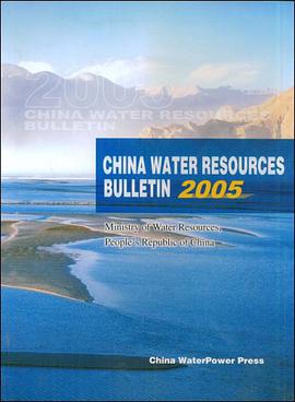
《中国水资源公告2005》由中华人民共和国不利部编写。PrecipitationThe total annual precipitation in China in 2005 was basically the same as normal.The isohyetal map ofprecipitation in 2005(Figure 1)shows that the areas south of the mainstream of the lower Yellow River,theareas east of the Qinghai.Tibet Plateau,southeastem Northeast China,southern Tibet,etc.,had an annualprecipitation of above 800 mm,in which parts of the SOUtheastem coastal areas and southem Tibet had an annualprecipitation of over 2,000 mm;most of Northeast China,most of North China,central and southem Shaanxi,southem Gansu,northern Sichuan,southem Qinghai and eastern and central Tibet had an annual precipitation of400-800 mm;and most of Northwest China,most of Inner Mongolia and northwestern Tibet had an annualprecipitation of below 400 mm.Compared with normal(Figure 2),most of Northwest China,northem Tibet,most of Sichuan,the Huaihe River Basin,the lower reaches of the Yellow River Basin,most of Northeast Chinaand the southeastem coastal areas had a more than normal precipitation,in which southern xinjiang,northernTibet,southwestern Shandong,northern Jiangsu,northern Anhui,etc.,had an annual precipitation 30%overnormal;and precipitation was less than normal in most of North China,Central China,most of SouthwestChina,the Yangtze delta area,etc.,in which northern Heilongjiang,central Inner Mongolia,most of Ningxia,etc.,had an annual precipitation over 30%less than nomlal.In 2005,the average annual precipitation in whole China was 644.3 mm,equivalent to 6,100.96 billion in volume,which was 7.2%morethan the last year and 0.3%more than normal.
作者简介
目录信息
读后感
评分
评分
评分
评分
用户评价
相关图书
本站所有内容均为互联网搜索引擎提供的公开搜索信息,本站不存储任何数据与内容,任何内容与数据均与本站无关,如有需要请联系相关搜索引擎包括但不限于百度,google,bing,sogou 等
© 2026 qciss.net All Rights Reserved. 小哈图书下载中心 版权所有


